
Mt. Zion–FUBS Cemeteries Update: DDOT Discloses 118 Collected Items
By • September 28, 2026 0 287
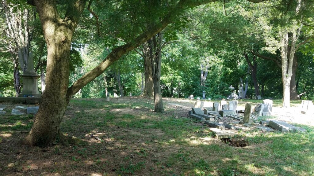
One month after the Black Georgetown Foundation’s Aug. 4 town hall regarding construction and archaeological protection near the Mt. Zion–Female Union Band Society Cemeteries, written responses from participating agencies have revealed new details while leaving key records and mapping questions unresolved.
Disclosures reveal that a District Department of Transportation archaeological monitor collected approximately 118 items for evaluation. Additionally, the National Park Service confirmed jurisdiction over part of Lyons Mill Road and the D.C. Historic Preservation Office clarified that its archaeological protection recommendations are advisory rather than binding.
The written responses followed BGF’s Aug. 14 questions. “We asked the agencies to put their answers in writing so the public could see where things actually stand,” said BGF Executive Director Lisa Fager. “Some of the answers are significant. They also make the underlying records even more important.”
BGF previously documented over 30 days of deep utility excavation — reaching nearly 13 feet — before an archaeological monitor was on site. DDOT stated its contractor found no artifacts during that unmonitored period. However, once a monitor arrived, 118 items were collected. They are currently being cataloged by the Office of Planning.
“A construction contractor saying it did not find artifacts is not the same thing as an archaeologist determining that no artifacts were present,” Fager noted. BGF is not asserting the items are cemetery-related, but is seeking catalogs, photographs and field notes to evaluate their origin within the historic landscape.
The Park Service confirmed its portion of Lyons Mill Road is a contributing archaeological site in the 2024 Rock Creek and Potomac Parkway Cultural Landscape Report. Meanwhile, the District’s Preservation Office clarified that stop-work orders are the responsibility of DDOT or the Department of Buildings. DDOT has still not provided requested geophysical maps, field-marking dates or a written protection plan for Lyons Mill Road.
On June 15, BGF submitted identical FOIA requests to the Office of Planning, which produced over 4,300 pages by July 30, and to DDOT, which missed three promised deadlines (July 22, July 31 and Aug. 7) and issued BGF a $224 fee estimate for the records on Sept. 3. BGF rejected the estimate and requested a public-interest fee waiver.
A separate BGF FOIA appeal (No. 2026-286) regarding Lyons Mill Road remains unresolved after the Mayor’s Office of Legal Counsel remanded the matter to DDOT for supplemental disclosures.
“The written agency answers are useful, but they are not a substitute for the public record,” Fager said.